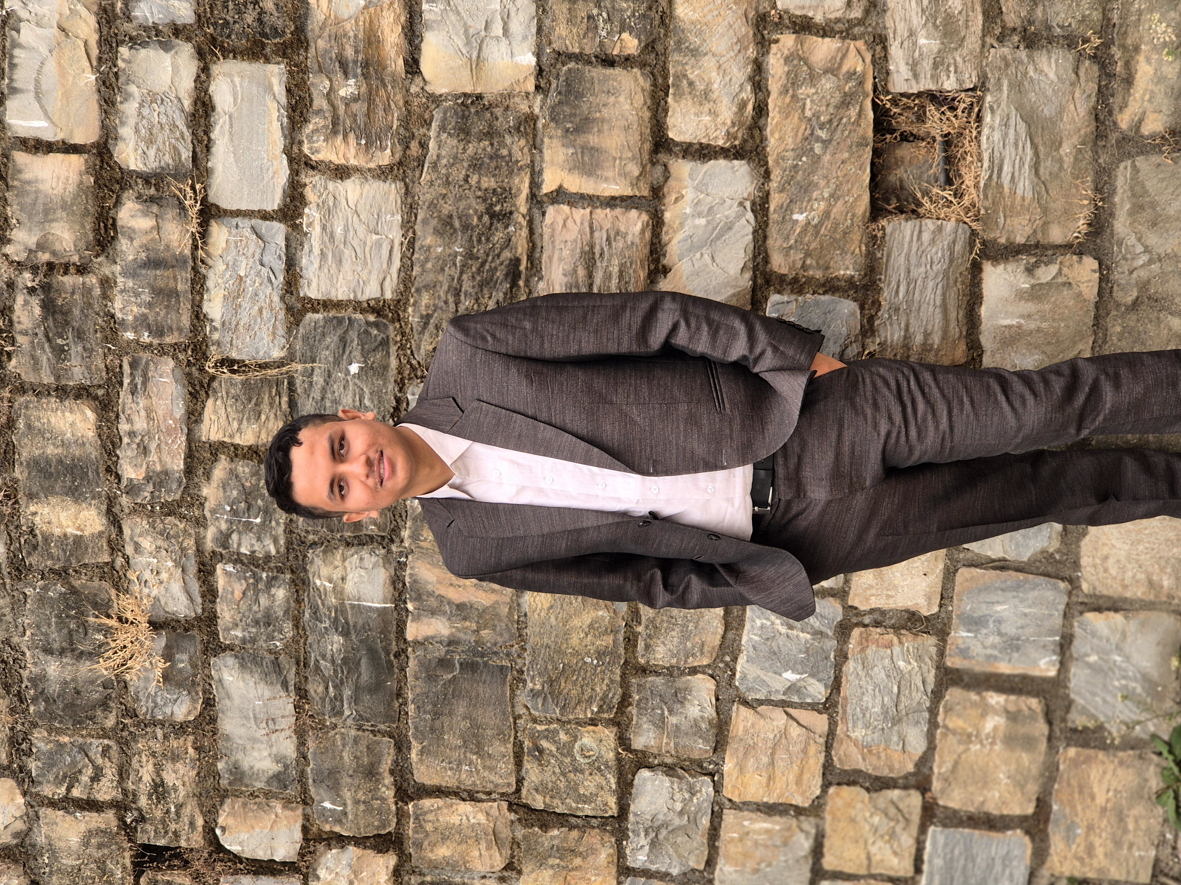
Hi, I am Bimal Sharma
Undergraduate Geomatics Engineering Student at Kathmandu University.
Specializing in geospatial analysis, mapping technologies, photogrammetry, and earth observations. Bridging physical geography and computer science to model our dynamic world.
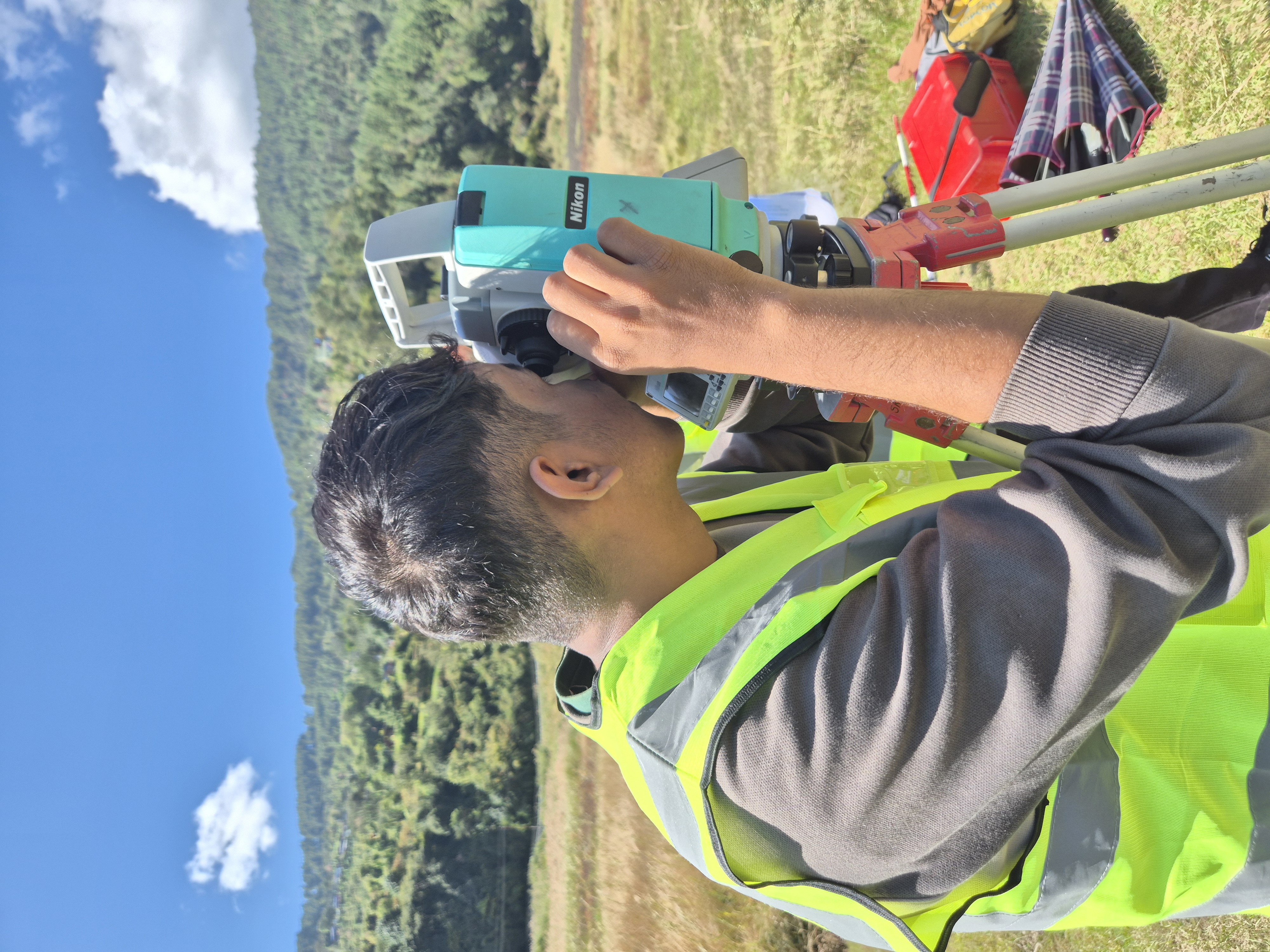
Total Station Observation Work
Bimal Sharma
Kathmandu, Nepal (Kathmandu University)
About Me
Specializing in Geospatial Engineering & Spatial Analysis
I am a student of Geomatic Engineering at Kathmandu University, specializing in Cartography, Photogrammetry, and Remote Sensing. I am passionate about mapping, geospatial technologies, and spatial data analysis.
My studies focus on turning raw spatial measurements and satellite images into actionable intelligence. By integrating computational methods with surveying disciplines, I strive to design maps and database solutions that help resolve environmental, urban, and engineering challenges.
Cartography
Map compilation, spatial design, and visual styling.
Photogrammetry
3D point cloud reconstruction and drone mapping data.
Remote Sensing
Satellite observations, classification, and indices.
Expertise
Skills & Tech Stack
A structured breakdown of my domain knowledge in geospatial technology, computer science, and creative tools.
Geospatial
Expert tools and practical experience in geographical surveying and imaging workflows.
Technical
Programming languages and backend technologies used for database design and spatial scripting.
Creative
Expertise in creative video production and user interface drafting for maps and web platforms.
Education
Kathmandu University Focus Area
My academic journey at Kathmandu University revolves around specialized core disciplines inside Geomatics. These focus areas enable me to acquire primary measurements and translate them into complex models of physical space.
Kathmandu University
Dhulikhel, Kavre, Nepal
Bachelor of Engineering in Geomatics Engineering
Kathmandu University
Undertaking in-depth lectures and practical labs that bridge field surveying, computer programming, remote sensing satellites, and drone operations.
Core Academic Fields Covered
Cartography
Advanced design of coordinate projections, topographic map composition, visual hierarchies, map symbols, and digital map layout.
Photogrammetry
Principles of 3D modeling using aerial images, stereo-pair geometry, orthophoto mosaic generation, and aerial drone triangulations.
Geotechniques & Surveying
Application of engineering geology, physical geodesy, high-precision leveling, GPS/GNSS receiver data, and total station control networks.
Geospatial Showcase
Nepal Literacy Rate Map
An interactive province-wise literacy map of Nepal built using Leaflet.js and boundary datasets. Hover over the provinces to view details and statistics.
Contact
Let's connect and build maps together
I am always open to discussing mapping projects, drone surveying opportunities, academic research, or technical collaboration. Drop a message or reach out via socials!
Email Me
sharmabimal6655@gmail.com
Location
Dhulikhel, Kavre, Nepal (Kathmandu University)
Send a Message
Reach out directly via this form and I will get back to you soon.
Gallery
Fieldwork & Journey
A visual record of my field observation, laboratory sessions, and engineering surveying practices.
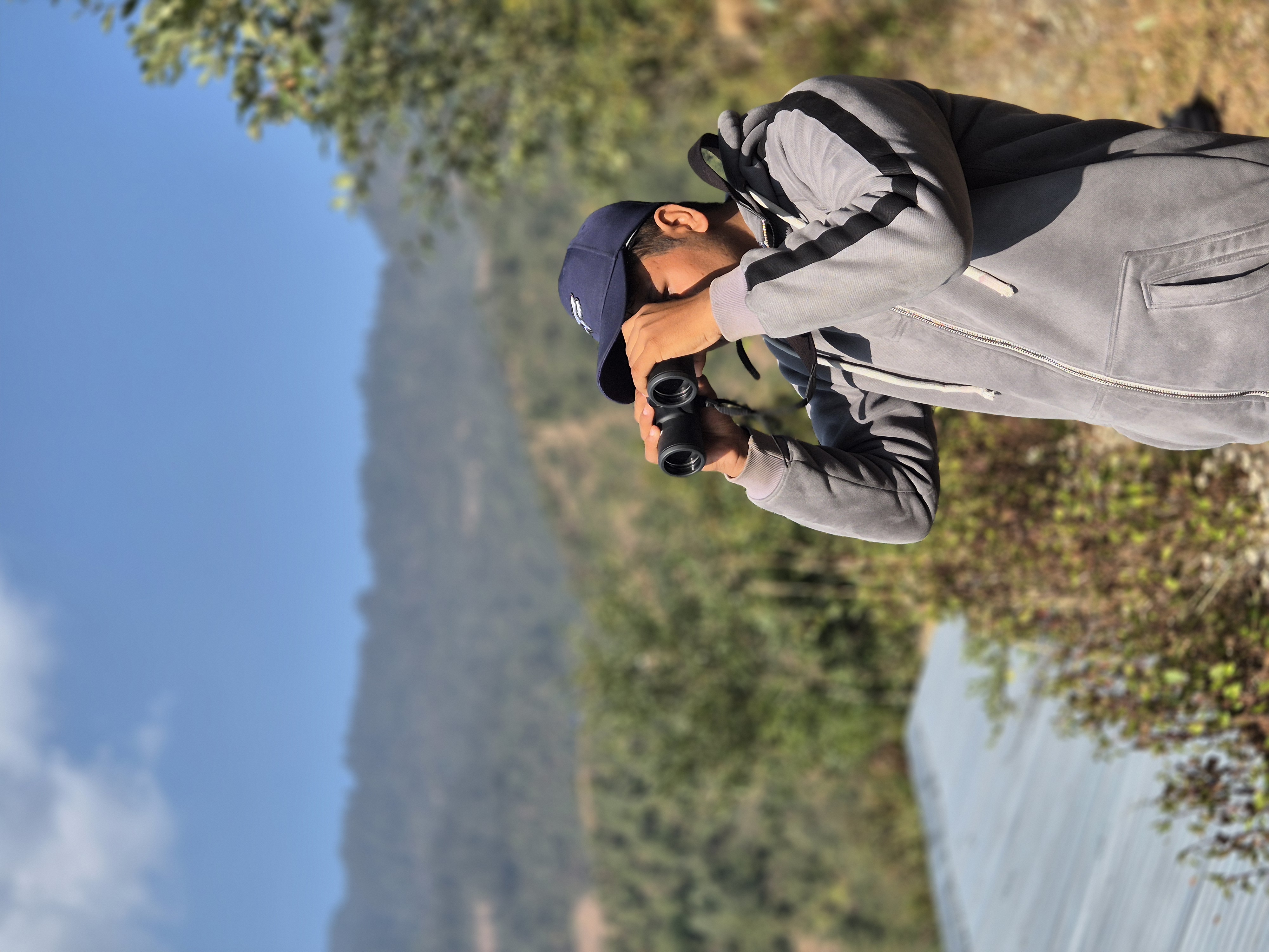
Field Observation & Geodetic Surveying
High-precision geodetic measurements and GPS controls collection in fied observation.
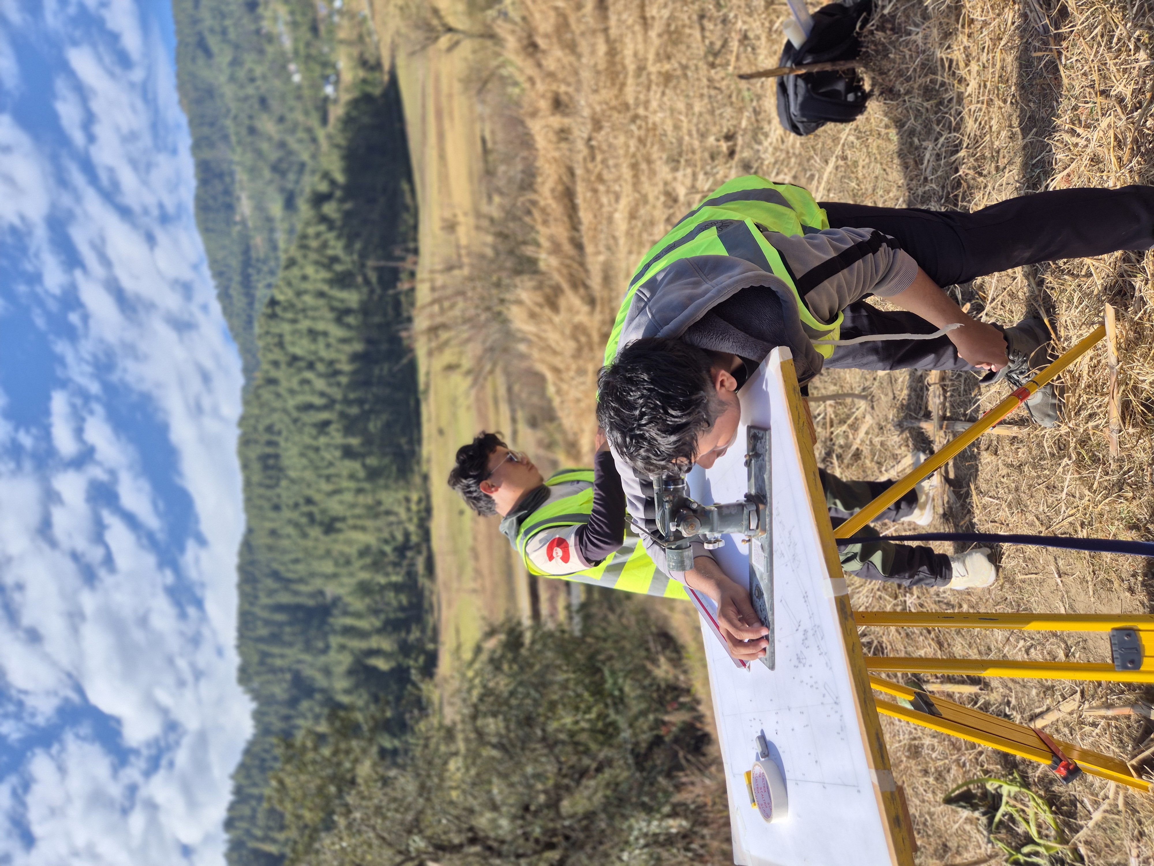
Plane Table Surveying Practice
Topographic mapping and graphical triangulation methods in Plane table Survey.
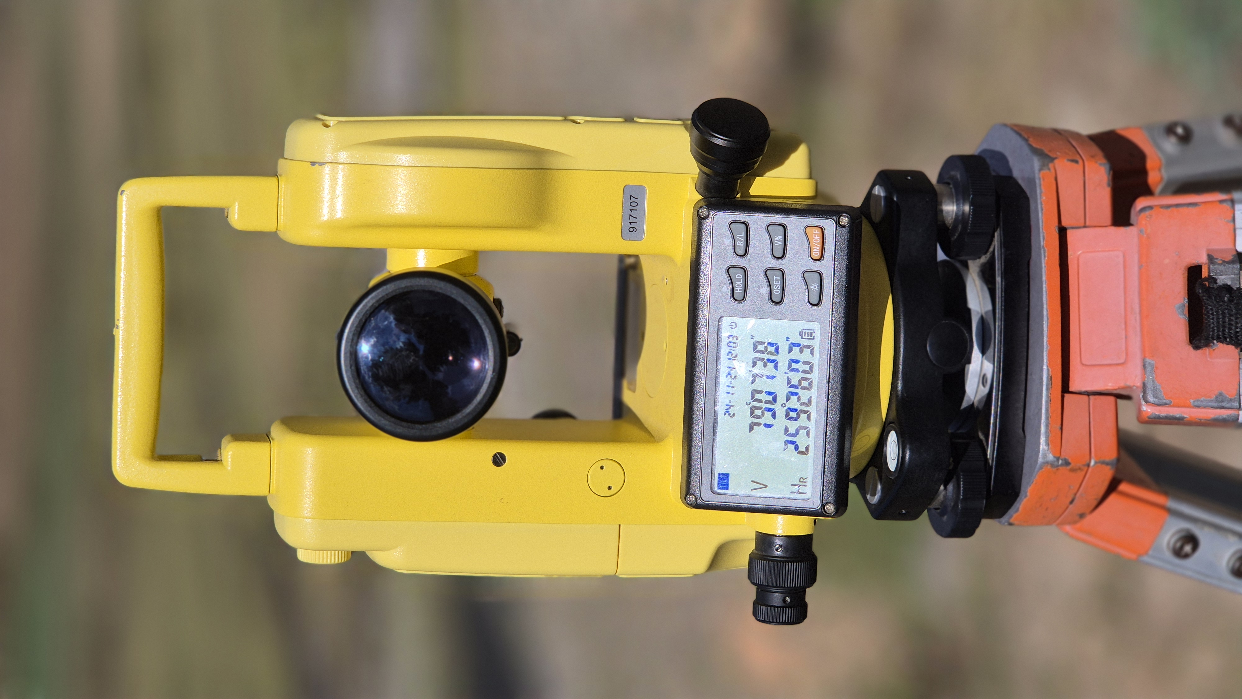
Precision Measurements with Total Station
Centering, leveling, and measuring distance and angle coordinates in Taking reading from Total Station.
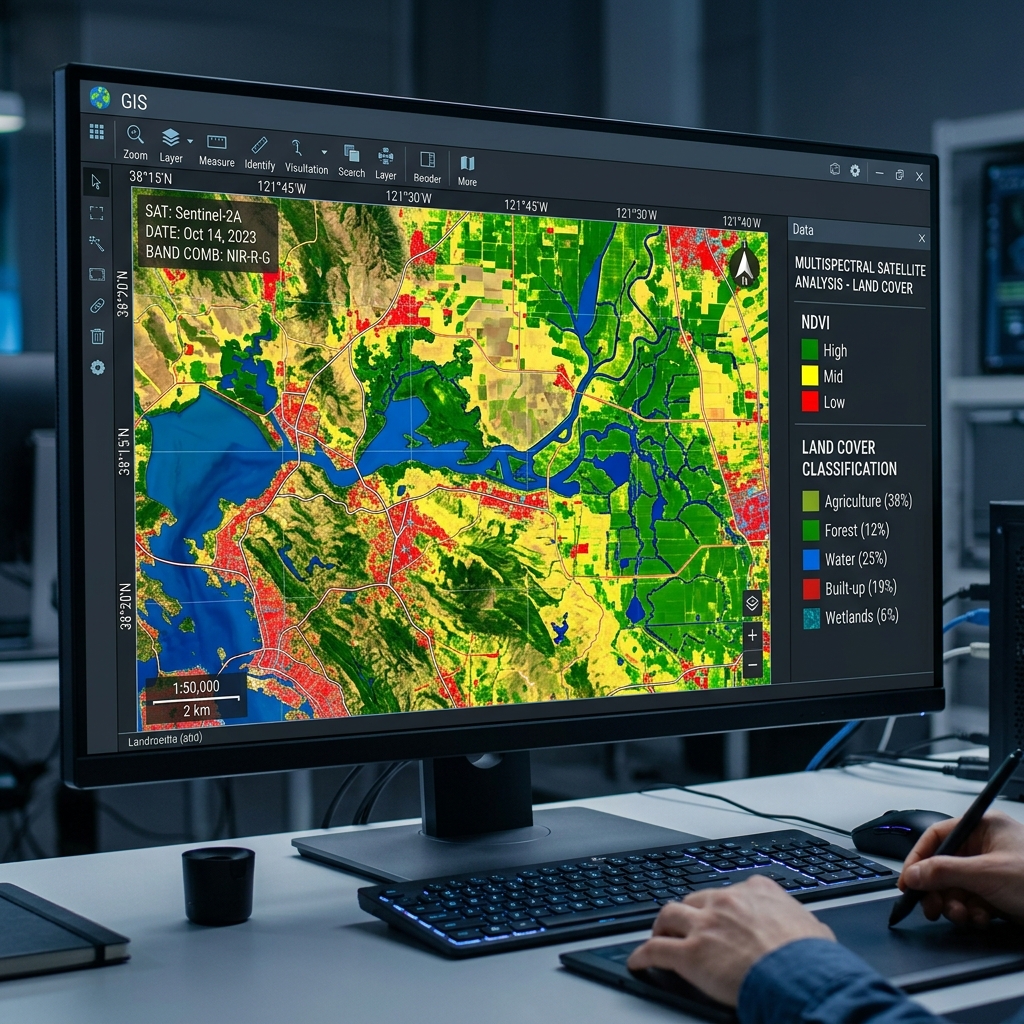
Remote Sensing & GIS Analysis
Satellite spectral band mathematics, computing vegetation indices and land classes.